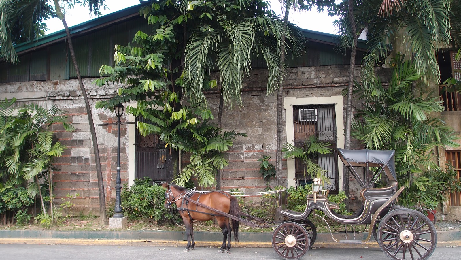
Participatory videography is a variation of the photo voice method. (If you've seen the film Born into Brothels it's the same kind of method.) Photo voice is a process in which participants are asked to capture their personal perspective on a particular topic using photography, with the goal of identifying, representing and improving their community. The photographs are later used as the basis for a critical discussion, either as part of a group workshop or a dialogue with decision-makers. In my study, a small group of participants create videos instead of taking pictures. The videos will be used to explore the various places environmental migrants go following a calamity, and the livelihood changes they have experienced.
For many reasons (which I will not elaborate upon here), the process of doing participatory videography has turned out to be very different from what I'd anticipated. The revised version, I think (and hope), will yield good results.
On Friday, my research team set out with a small group of research participants to trace key elements of their journey as environmental migrants. I hope this entry will give you a glimpse into the types of research activities we are doing here. Instead of going into the minutiae, I've opted to write in note form and let the photos fill in the details.
* * * *
5:43 am
My internal alarm clock goes off. Must be nerves about the day's activities. There's no way I'm falling back asleep.
6:20 am
A forrest yoga podcast to start the day (and an extra half hour sleep for Ada and Frank).
7:00 am
Plain instant oatmeal, hard boiled eggs, banana and mango for breakfast. No time to make (brewed) coffee. Frank double checks to make sure he has the GPS (aka Samsung Galaxy smart phone with a GPS app). He's been assigned to be the official coordinate-taker at each site.
8:00 am
Meet up with Dudong, our jeepney driver neighbour. I'd arranged a pakyaw deal in which I hire him and his jeepney to take us around for the day's activities at a set price. He's wiping down the long benches running lengthwise along each side of vehicle. He runs back into his house to change from his pyjama-shorts into old jeans and a t-shirt. We are en route in the emptiest jeepney we've ever been in within 15 minutes.
 |
| Our jeepney for the day |
8:45 am
After snaking our way through morning traffic, and a short stop to top up the oil, we arrive at the Park Cafe in Divisoria. We're picking up Kuki, my translator and research assistant extraordinaire. I send her a short text message telling her to look for us in a white and very empty jeep. Frank makes a quick trip into Dunkin' Donuts for some coffee.
9:15 am
Arrival at Ecoville. Only two diversions on the drive in (aka wrong turns).
There are no staff on-site, and no group of participants waiting (as per our arrangements). Uh oh.
We head to the carenderia of one of the participants who has agreed to come out on today's activity. Communication about the plans broke down somewhere along the line ... A frantic "are any staff around?" text message to my contact.
The carenderia owner helps gather the other participants, while I go collect and pay for the snacks I'd ordered from the Ecoville cooperative. The coop manager informs me that they'd been instructed to make "hearty" and "filling" snacks. Great!
10:00 am
Departure. There are thirteen of us: four adult women participants and two of their young children, two adult men participants, Kuki, Dudong, Frank, Ada and me.

10:30 am
First stop is the Xavier Heights covered court. It's a few side streets off the national highway in barangay Balulang. A goat grazes at the edge of the property. A half-dozen boys play basketball in the covered court.
We all dismount and tour the site. Kuki interviews one woman who lived her from December 2011 until February 2012. The army brought her here. We film on the spot where she and her family slept. It's right at the edge of the basketball court, on the grass side.
 |
| Xavier Heights covered court |
11:20 am
It's a harrowing ride through the backroads of Balulang down to Isla Puntod, the former home of two of the women. The road is used mostly by big trucks carrying crushed gravel from the river quarries. Much of the soil was carried away with the floodwaters, leaving only large boulders and giant potholes. Dudong's grimace tells me he was not anticipating this kind of off-road driving when he quoted me his pakyaw price.
There used to be two bridges connecting Isla Puntod to the mainland, a hanging bridge for pedestrians and a cemented bridge for motors (motorbikes), quarry trucks and the multicabs that served as the main mode of public transportation here. The former bridge was completely washed out and has not been rebuilt. The latter is cracked and doesn't look like it could stand another flood, but is still used. Looking at the river and the main Taguanao bridge upstream, it's easy to see that Isla Puntod would inevitably be flooded if the river level ever rose. There is no other place for the water to go. During Sendong, the water rose to within one meter of the bridge.
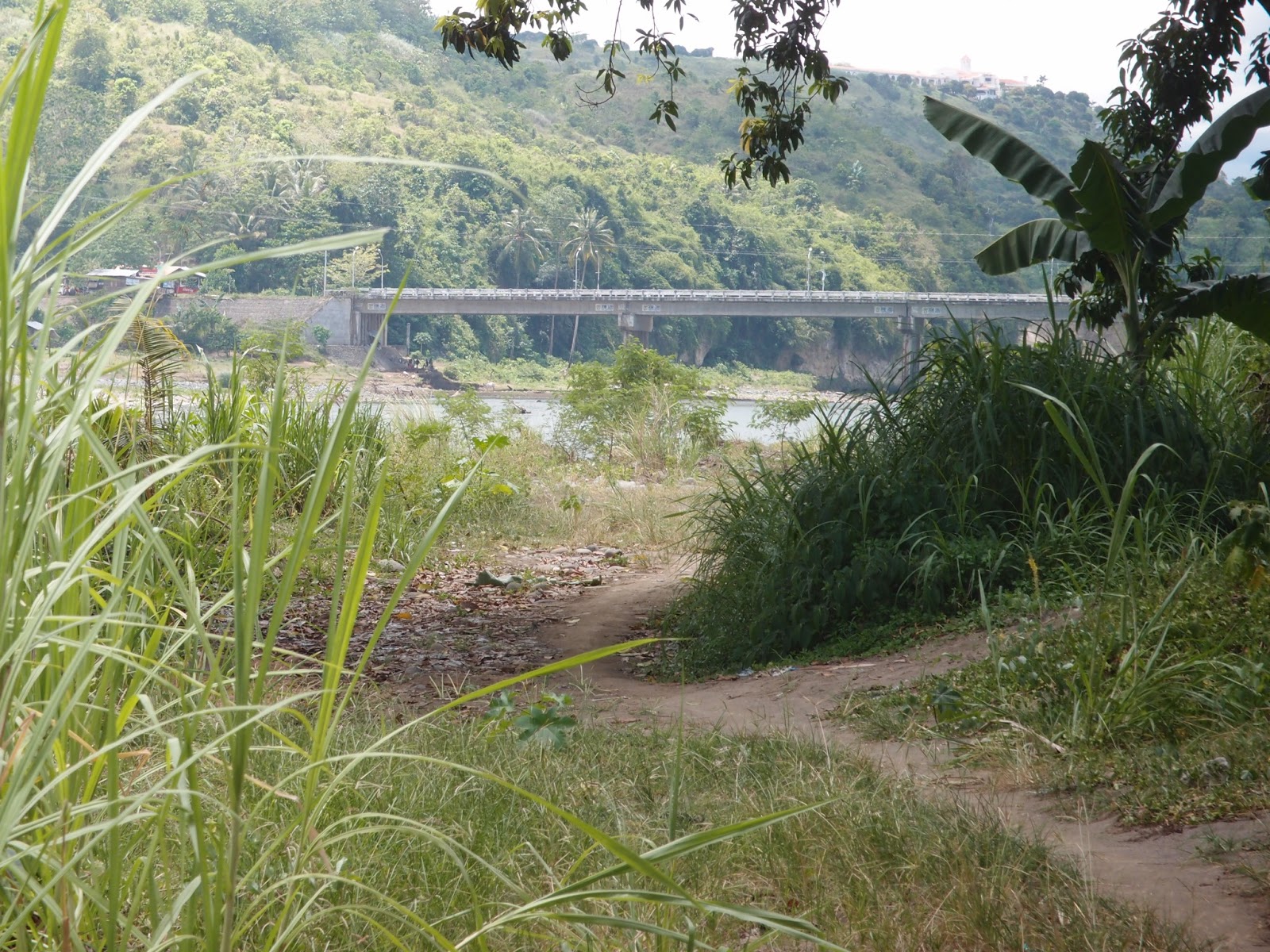 |
| Taguanao bridge over the Cagayan River |
We film in front of her old house. She points to the site where a coconut tree once stood. When the water began rising (up to 25 feet), she and her husband climbed the tree to escape . The tree was knocked over by a barrage of uprooted trees. It was very dark so they kept shouting "where are you?". They crossed from one treetop to another, eventually making it to the safety of a neighbour's place several hundred meters away.
Her family has rebuilt a nipa house. They return occasionally to harvest mangoes, papaya, kamote and other vegetables and root crops. It's very peaceful; the river air and breeze is welcome respite from the summer heat.
The only new structure on the Isla is on a quarry site. The building serves as an office. Quarrying activities continue unabated.
 |
| Quarry next to the river |
12:00 pm
Drive into the city, into traffic. Turn left off Borja Street onto Isla de Oro. A young mother used to live here with her family. She tells Kuki about her old home.
Meanwhile, Frank strikes up a conversation with a group of lechonero, the men who prepare lechon. Roasted pig, or lechon, is a specialty of Cagayan de Oro City and a favourite dish of Cagayanos during holidays, graduations and fiestas. The men are resting in the shade of a light, open structure. Two lechon are skewered onto long bamboo poles, ready for hours of roasting. It turns out that the men are (English-speaking) environmental migrants, so I go to interview them.
 |
| Lechonero with their lechon |
The men compare levels of theft in Isla de Oro and in Cala-anan. Theft, they say, is much higher in Cala-anan. They attribute this to poverty and unmet basic needs at the relocation site.
The entire Isla de Oro is now a no-build zone.
12:40 pm
The next stop is Isla Delta in barangay Consolacion.
The young mother who used to live here talks rapidly. She calls cheerfully to former neighbours who seem happy to see her.
She points out the spot where her amakan house once stood. It's just past a junk shop and adjacent a small creek whose waters are more stagnant than flowing. The water is barely visible under a thick mass of bright green aquatic plants. The house was given to her from the Celebration Church. She lived at the house for 15 years.
A two minute walk away is her brother's house. She returns here on a regular basis to visit family; she sleeps here whenever she comes into the city. The house has a concrete foundation and amakan walls on the upper floor. He continues to stay here with his family, even though they have a bunkhouse (temporary shelter) in Ecoville. They will move permanently to Ecoville once the construction of the permanent houses is complete.
 |
| Under the Marcos bridge |
We continue walking and stop under the Marcos bridge. She returned here on a daily basis to collect relief goods given by the Catholic Church and some non-governmental organizations.
Across the dirt road is a giant billboard. On the night of December 16-17, 2011, her mother and cousin were carried by the flood waters and stranded in the struts of the billboard. Luckily, they survived.
 |
| Billboard where several survivors were trapped |
We leave on a somber note. She points to a stretch of road where the bodies were laid out, brought there by members of the police and armed forces. In the days after the calamity, families gathered on the bridge and looked down, trying to identify loved ones.
Most of Isla Delta is now a no-build zone.
1:15 pm
We drive past the pier and into barangay Macabalan. Most of the houses are constructed with light materials. It is densely populated, and lacking in trees and greenspace. It's an estuary barangay, located at the meeting of the Cagayan River and Macajalar Bay. Salty air wafts into the jeepney. It's a refreshing change from the diesel, charcoal and refuse stench in the downtown core.
The roads are very narrow with deep gutters on either side. It is barely wide enough for the jeepney to pass. Dudong demonstrates his expert driving skills when he is forced to creep around a wake extending onto the street. Kuki explains that when someone dies, there is usually a wake in which family, friends and neighbours come to pay their respects (and maybe share a shot of Tanduay rum). In poorer neighbours, where most people have tiny houses with very limited space for accommodating visitors, these wakes extend onto the street. It is socially acceptable to appropriate this public space for the duration of the wake.
We shoot a video looking out onto the river. The former resident explains that his house was built on a seawall and extended over the river. It was entirely washed out. All along the river side of the road are empty concrete house ruins and newly planted vegetable gardens. Children play in the abandoned houses. On the other side of the road is a thriving community - sari-sari shops, carenderias, residential homes, etc. No building is vacant.

 |
| Frank takes the GPS coordinates where the house once stood |
Many of his former neighbours are waiting to be relocated to the Cala-anan and Indahag relocation sites. Initially, no Macabalan residents were supposed to be given relocation housing, even though many of houses were washed out. The city's rationale was that nobody in the barangay died in Sendong. It took a very tragic incident for this position to change. One woman died by suicide in an evacuation center; she had been denied relocation housing because she was a renter and not a home owners, was too traumatized to return to her old place, and felt she had no alternative. The Catholic parish priest in Macabalan was afraid that his parishioners may follow a similar fate, so he lobbied the city on their behalf, advocating for relocation. He is credited with helping a lot of (former and soon-to-be former) Macabalan residents.

1:45 pm
A quick stop at the Macabalan Elementary School where he stayed for two months, along with 74 other families. The guard recognizes him, and waves us in for the filming.
 |
| Macabalan Elementary School |
Everyone is getting hungry. The snacks were hearty and substantial, but a full meal is definitely warranted. On the drive to a favourite carenderia the Isla Delta woman points out a PhilPost building; it is where she comes each month to pick up the money she gets from the DSWD's 4P's program geared at helping low income families support the educational and nutritional needs of their children.
We make a quick stop at the Provincial Capitol to film where the same woman came each afternoon to collect relief goods. Government workers would distribute cooked food, a welcome respite from canned sardines and noodles.
2:45 pm
After a lunch of rice, chicken, porkchop, jackfruit salad, and squash and monggo bean soup, washed down with Pepsi, we are all in much better spirits. The weather, however, has taken a turn for the worse. It's clouding over. By the time we stop at City Central School - one of the main evacuation camps - it is pouring cats and dogs. It's the first all-out thunder and lightning storm we've seen in our time in CDO.
 |
| Filming in the rain |
Kuki has to leave for another job, leaving us to finish the day sans-traductrice. Fortunately, everyone has a good sense of what to present at each site. Still, not being able to communicate fully does make the work more challenging.
3:10 pm
We drive through Macasandig, a relatively upscale barangay. Many of the barangay's middle-class residents were completely unprepared for Sendong because there had been no flooding there (in living memory).
It's still raining so we offer the older gentleman who lived here the option of filming from the jeepney. He walks with a cane and might have trouble navigating puddles. He insists on doing his part and filming on-site in the covered court where he and his wife stayed for several months.
3:45 pm
We finally arrive back at Ecoville, exhausted. We do a final video in one of the bunkhouses, where the Macabalan man and his family now stay. It's small but cheery. A motorcycle helmet hangs on one wall. Bags of donated clothes and linens line one wall. He narrates his video in a mixture of English and Visayan.
 |
| Alley behind the bunkhouses at Ecoville |
* * * *
The day is long, emotionally taxing and physically exhausting. And rich, revealing and rewarding.
I will go back to Ecoville again next week to deliver copies of the video to each participant. Before the videos can be shared with others outside the research team, they need to be translated, edited, and, in some cases, altered to conceal the identity of the participant (as per their request).
N.B. I have permission to use and share the pictures and stories of the people in this post. Sensitive details have been omitted in order to protect the respondents.